Clare and I headed to a new part of the desert that we’d been wanting to explore for a while – north of the 10 and the Coachella Valley Preserve. It’s on the North side of the Coachella Valley but is dwarfed by Joshua Tree on the other side of the range if you look at a map. Either way we wanted to explore. Unfortunately the visitor’s center wasn’t open (unclear if it was Covid, the day the week, weather (it was October so I don’t think so))…here’s what it says on the Thousand Palms Oasis Preserve site (not the Coachella Valley Preserve site? So confusing):
Here are the stats:
- Distance 9.54 km / 5.92 mi
- Moving Time 1:16:06
- Elevation 317 m / 1040 ft
- Partly Cloudy
- Temperature 24 °C / 76 ℉
- Humidity 46%
- Wind Speed 13.9 km/h
HOURS:
- May 1 – September 30: Friday, Saturday, and Sunday 7:00 a.m. to 7:00 p.m.
- October 1 – November 30: Thursday through Sunday 7:00 a.m. to 5:00 p.m.
- December 1 – April 30: Wednesday through Sunday 7:00 a.m. to 5:00 p.m.
- There is no public access to the Thousand Palms Oasis or its trails when we are closed.
- We do not have different Holiday hours. The Preserve Hours are as listed above
So we called an audible and parked off of Thousand Palms Canyon Road at the Willis Creek Trailhead.
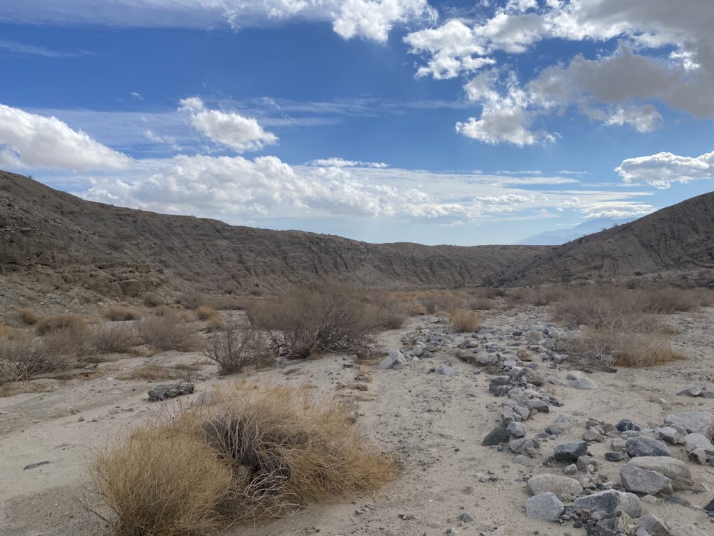
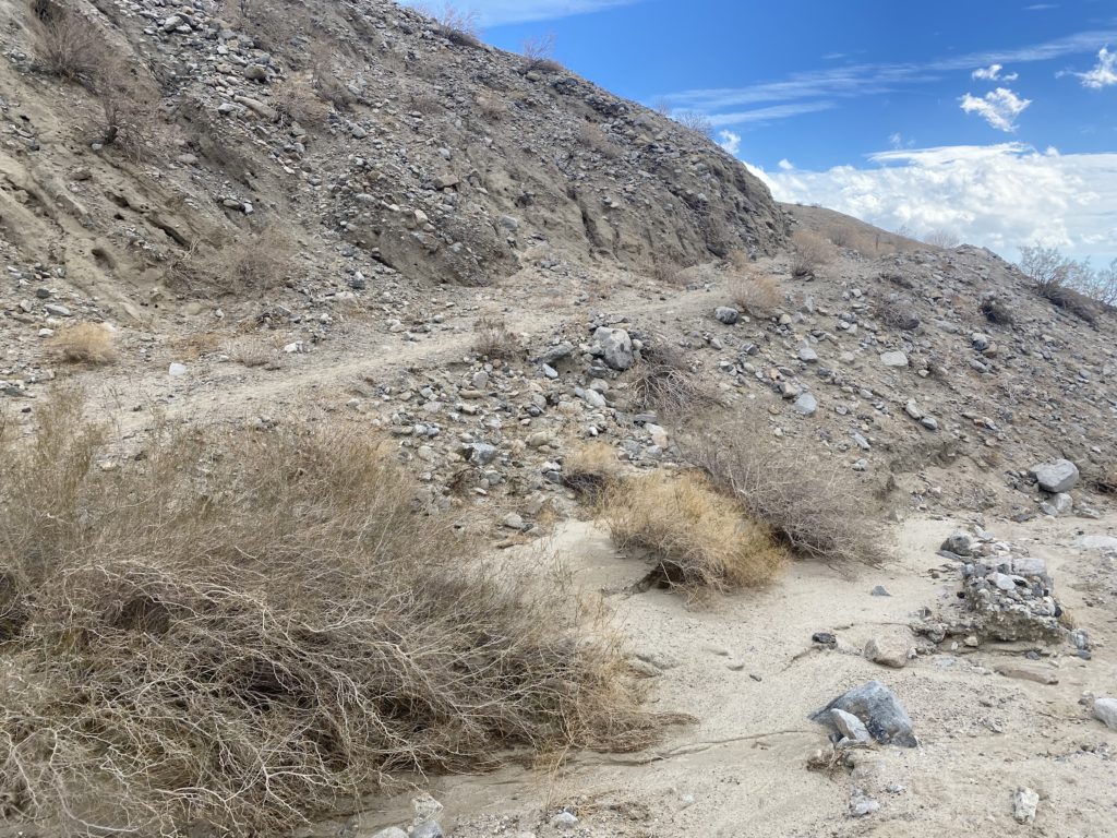
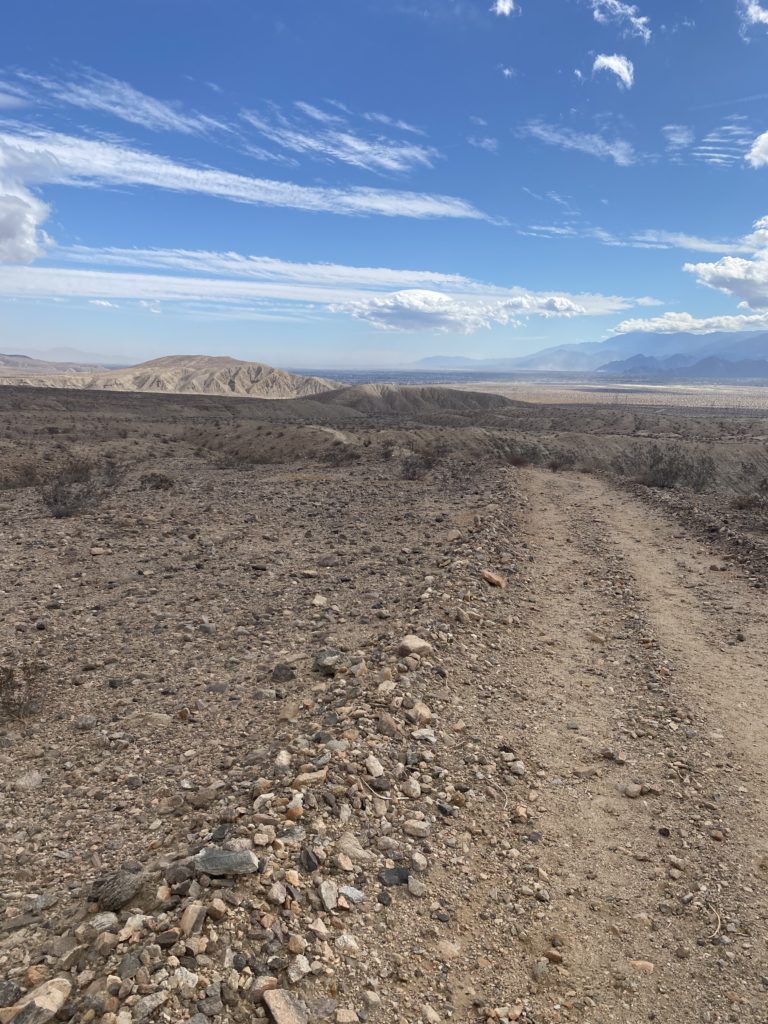
I have to be honest – the first half of the trail (at least the way that we went) was…unspectacular. It wound along the base of a foothill for a while with a bunch of palms (yeah, I know…it’s called Willis Palms) and an obvious water source. Then you head up a canyon in a dry river bed. Clare loves this terrain but I’m not a fan. It’s like soft sand running at the beach.
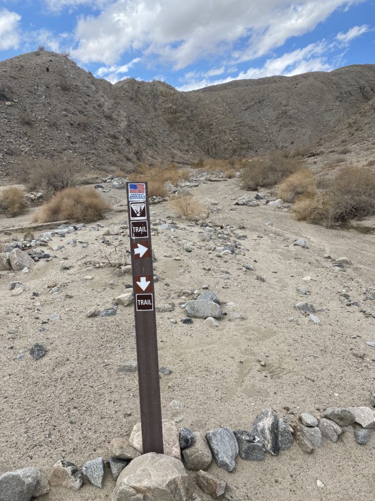
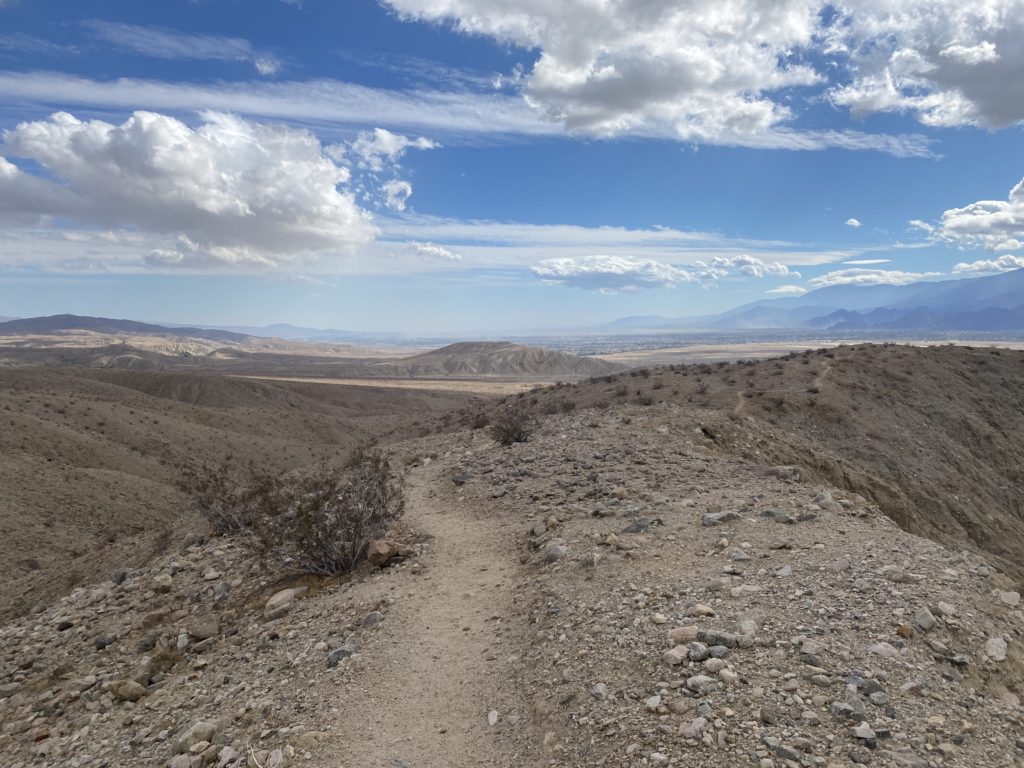
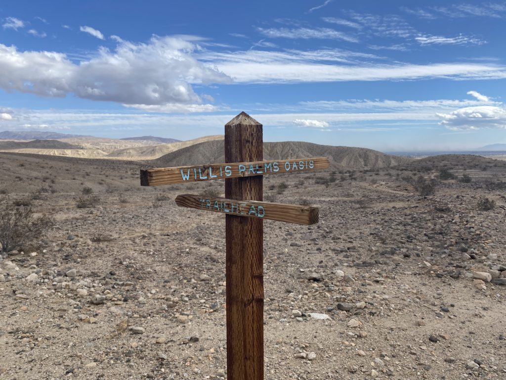
However, shortly after this marker you hang a sharp right and start climbing on some singletrack. *Now* we’re talkin’!
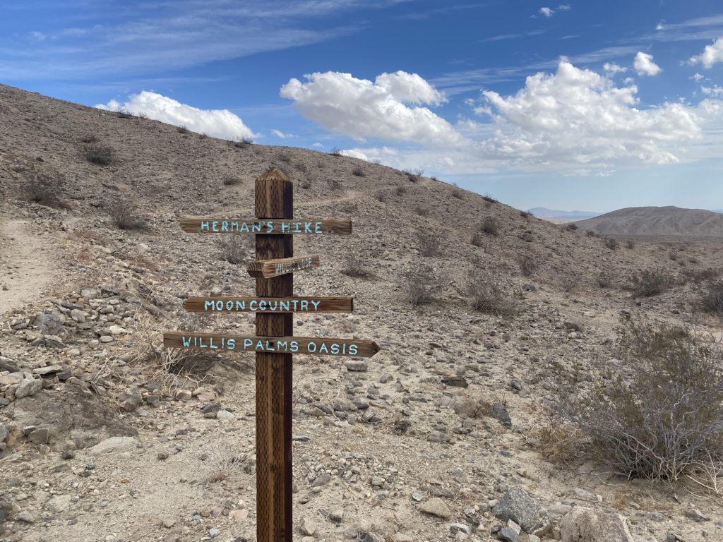
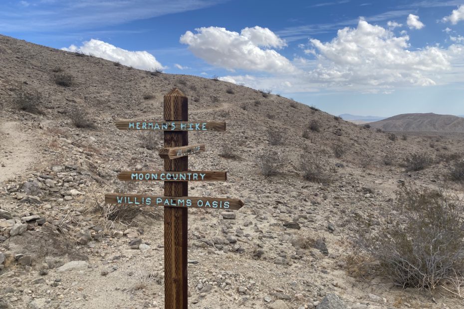
This is the main junction at the top of the climb out of the river bed. We continued up on Herman’s Hike with the loose plan of heading over to the end of Herman’s Hike to the Moon Country trail.
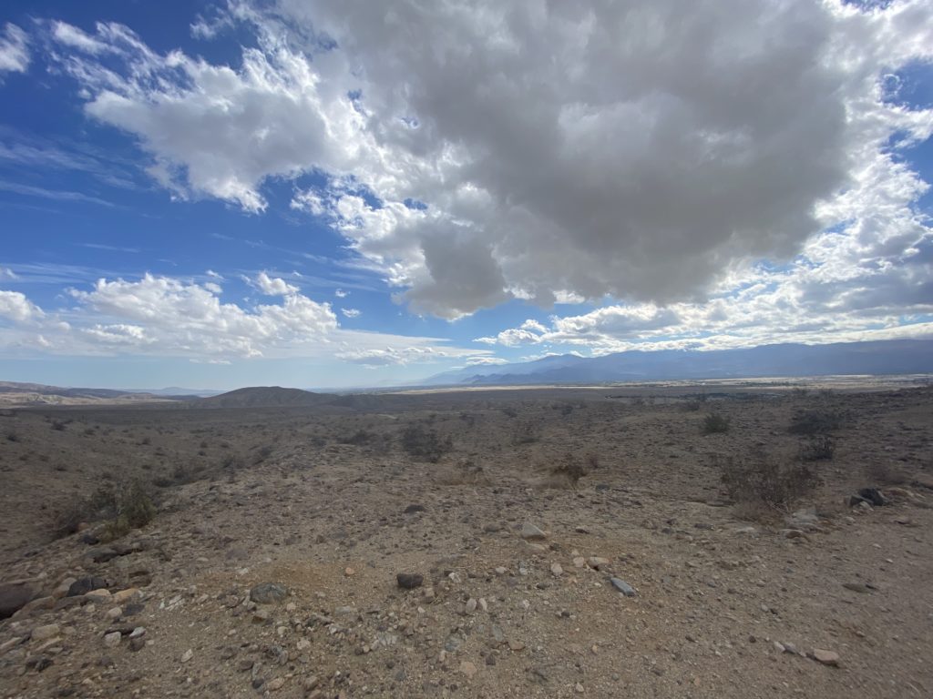
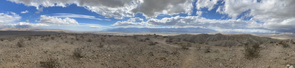
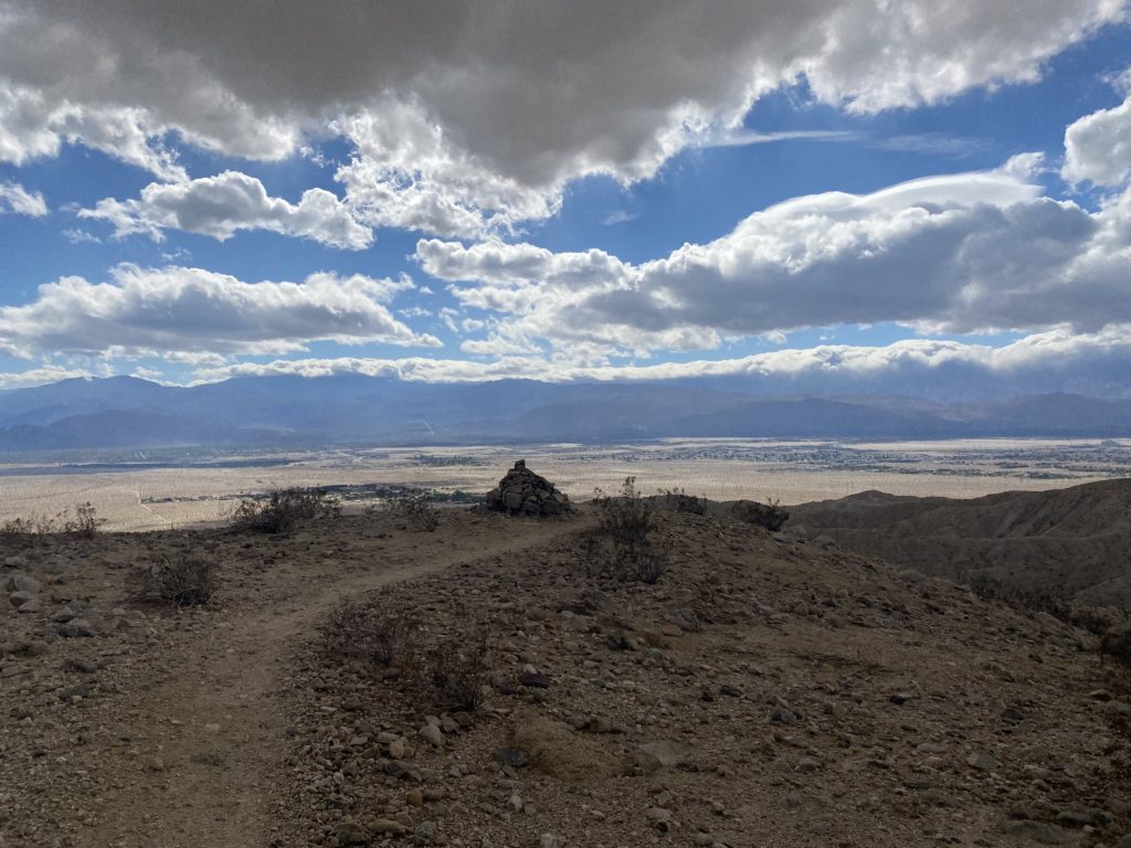
In the end I decided to pull the pin at the top of the summit of Herman’s Hike (and therefore, not finish it. Clare had turned and the weather was a bit strange (no reason to push *anything* in the desert – if it feels strange, listen to it!) so it was a couple of pictures and that’s it.
Then it was time to head back down. We ended up hanging a left at the major crossroads with the five signposts to complete the Willis Palm Loop, which was much more interesting to me.
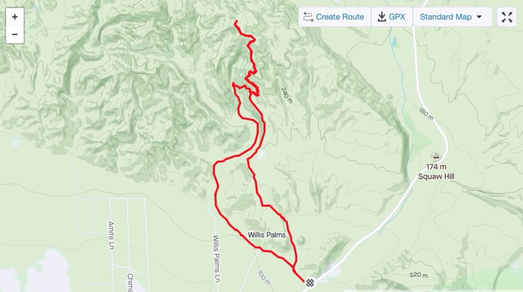
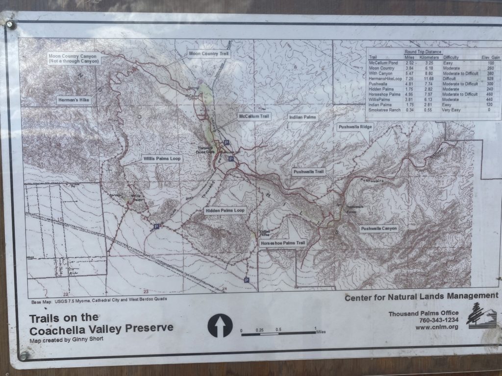
Once back at the car we saw the trail map…at the end of the run…
All in all not too bad of a run. There’s an extensive trail system back here but you have to know when the visitor’s center is open to run. No idea what the enforcement structure or penalties are for violating but we weren’t interested in testing this. Also a great alternative to driving all the way around the range to get to Joshua Tree (although that’s *remarkable*). Next up on the list when we decide to go north of the 10 is some variant of the Pushawalla Palms Loop.