For our normal Sunday run in the desert we headed down to La Quinta to see how far we could get to the Palm Oasis. The full out and back track is just under 13.7 kilometres/8.5 miles – the first is relatively easy but then you start up on the single track and the climbing is relentless. Needless to say this isn’t a summer – or even warm shoulder season – run. Be smart as there is nothing available on the trail – along with very few people and very little shade.
Here are the stats:
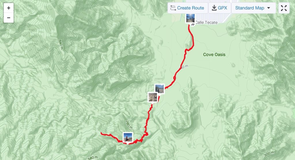
Distance: 10.26 km/6.38 mi
Moving Time: 1:25:50
Elevation: 391 m/1283 ft
Temperature: 27.2° C/81° F and Clear
Humidity: 31%
Wind Speed: 8.2 km/h
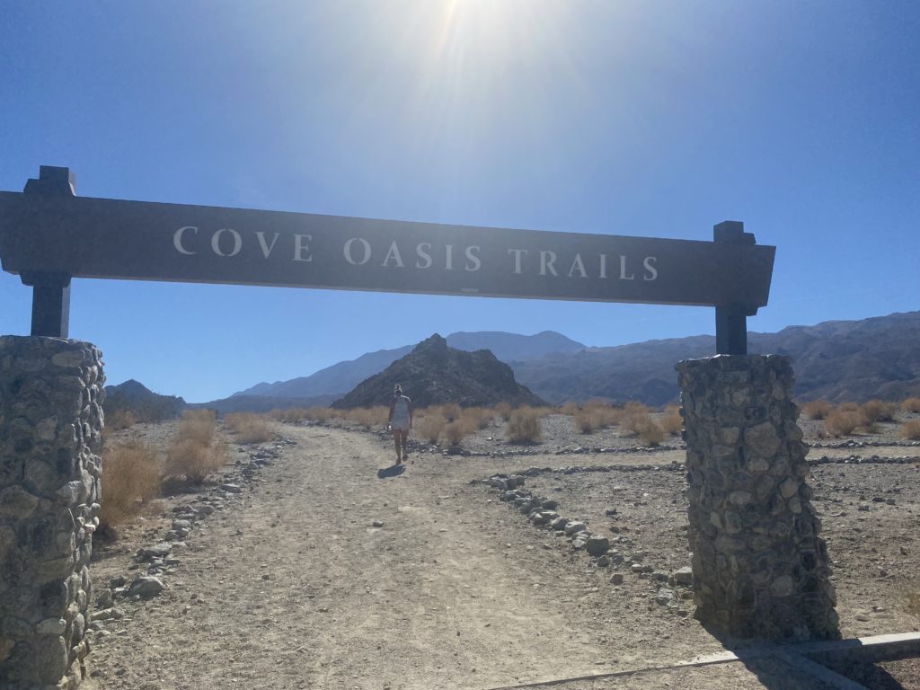
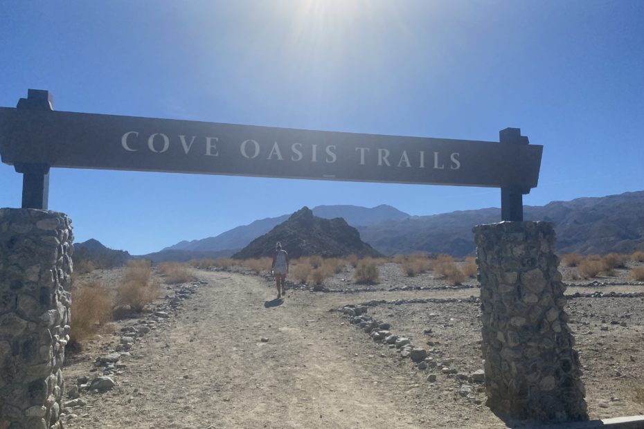
The start of the run is pretty much universally accessible. Nice wide paths leading to the first oasis in like a 3 min walk.

The first oasis is pretty basic with some shade and tables. There’s a semi-large rock to the right (it seems big until you get further up into the hill and you get to see how big everything else is – the perspective is so off this far down) that people frequently climb on. Great spot for kids to run wild.
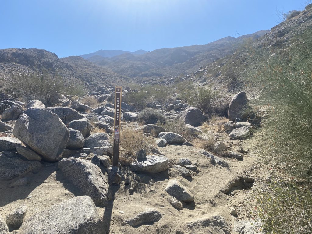
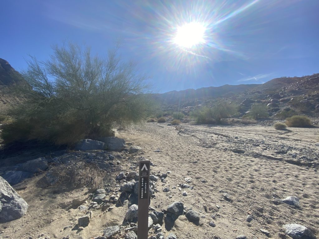
After the oasis the trail quickly drops into a sandy dry river bed. It’s soft sand running, hot and without shade so pace accordingly. I usually slog through this part as a warmup. The soft sand eventually gives way (at about a mile in) to the singletrack that climbs out of the river. It’s marked, but not all *that* well. You can see the marker above.
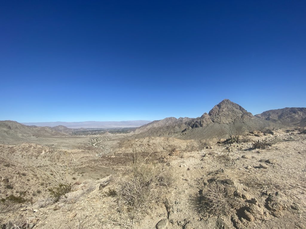
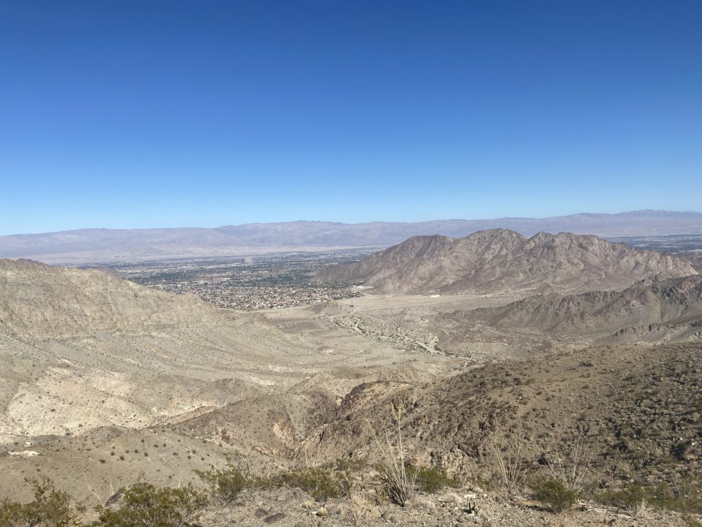
For the next half mile or so, it’s a pretty gentle climb (but climb nonetheless) along some exposed but not terribly dangerous trail. From here, however, all bets are off. It starts going vertical and some of the sections are nothing more than washed out rocky gullies. You can see the peak in the above picture – to give you an idea of the climbing pace, you’ll be able to see over the top of that to the Salton Sea (and Mexico if clear) in the next 15 mins of ascent.
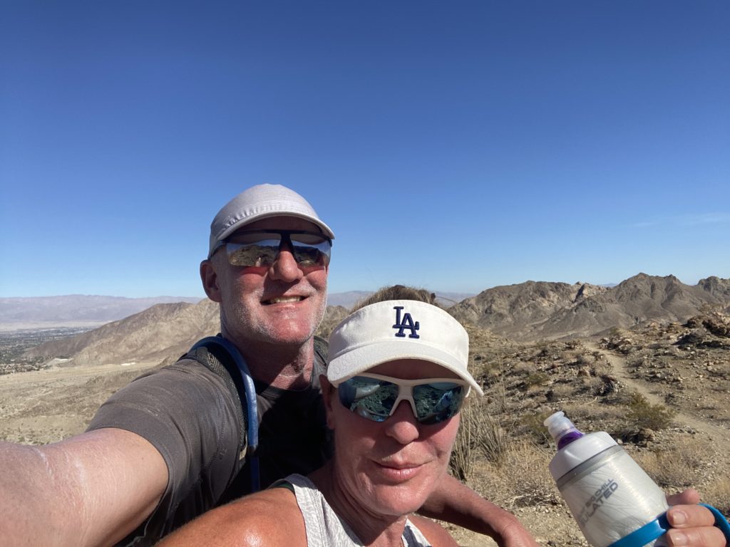

The trail winds around the back side of the rock and has some more gradual climbs and flat-ish sections. There’s a killer view of a deep rock canyon off to the left. On this day, however, Clare pulled the pin and I didn’t last much longer. In the above photo you can see the peak that I mentioned before – you’re already above it.
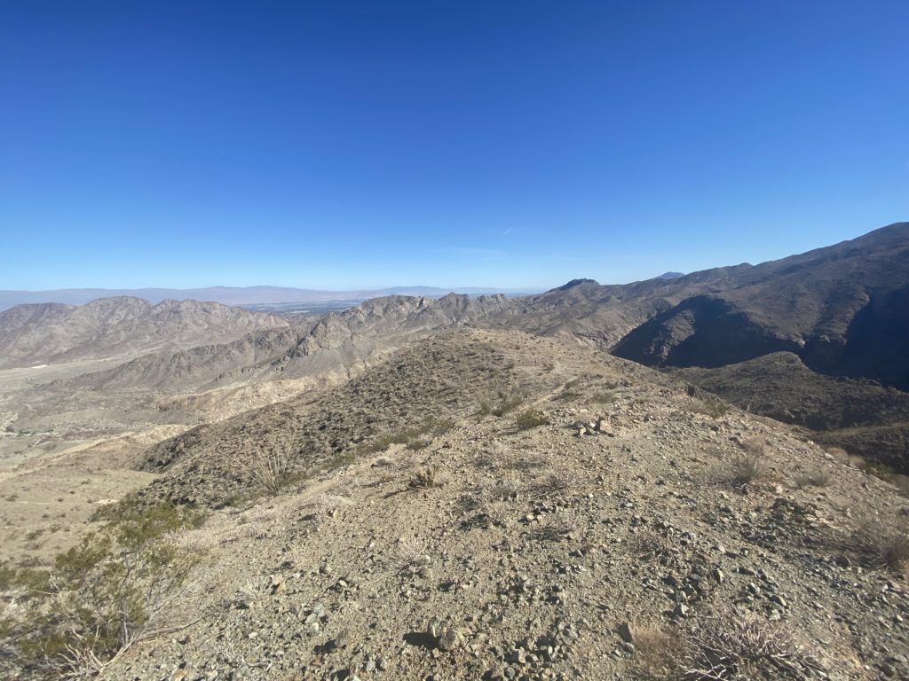
I kept it up for a little longer (don’t want to let the sun sink behind the mountains as it can get cold but also difficult to see with the flat light and unstable terrain. I didn’t go to where I wanted to (the vista is tremendous) but you can see over the peak and just about to the Salton Sea above.
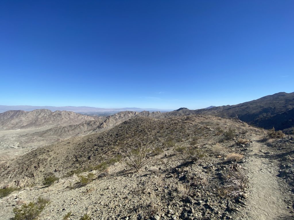
If you go the full trail, you will head over the top of the hill and descend into another ravine before climbing again. You can’t really see the valley and, for some reason, I found the Bear Palm Oasis rather spooky. Perhaps because I was a alone that time and it’s really, really remote. And, no cell service so be prepared!
It’s a straight shot back down and can be a quad buster. Be careful as the lighting can be tricky and it’s a pretty rock trail. But, as soon as you get into the river bed you’re just about home. And, if you’re like us, headed to Stuft Pizza in the La Quinta Old Town. Yum!