For the October 2021 Family Reunion, we tucked in an extra day at the end so we could drag the family on a little hike while we went for a run. So, it was up to the Santa Ynez Recreation Area to do one of the more accessible fire road trails – Buckhorn OHV.
Here are the stats:
- Distance: 8.26 km / 5.13 mi
- Moving Time: 59:46
- Elevation: 321 m / 1053 ft
- Elapsed Time: 1:17:29
- Temperature: 18.3° C / 65° F
- Humidity: 44%
- Wind Speed: 7.5 km/h / 4.66 mi/h
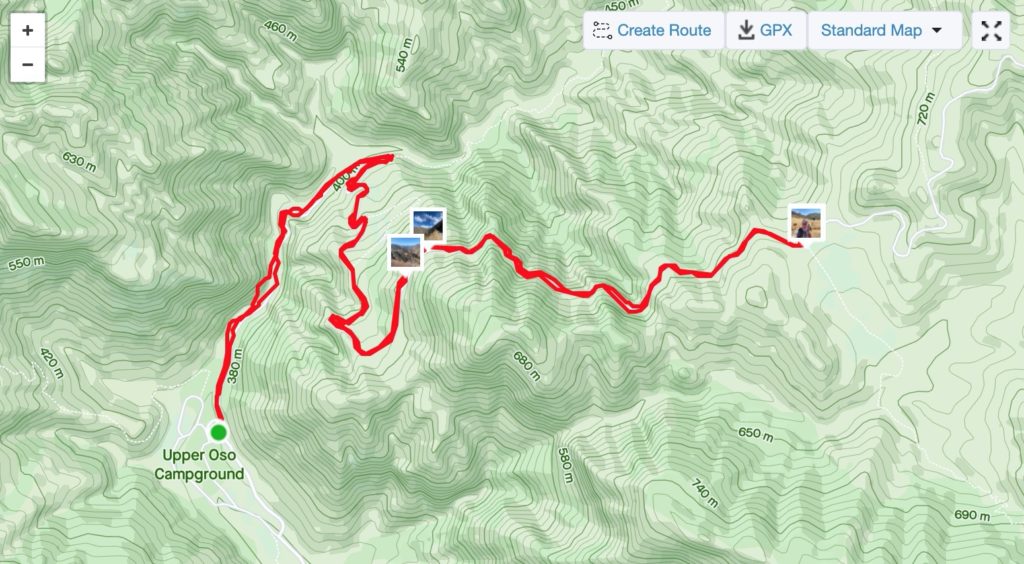
While very familiar to all the locals, the SYRA is a bit of a challenge to stumble upon but it’s a treasure. To get there you head over the 154 (San Marcos Pass) and turn right at the bottom of the hill on Paradise Road. Keep going until you hit the First Crossing Day Use Area. Here you’ll need to pay the fee of $10/day and decide if you want to drive across the river or park in the day use and walk in. The crossing can be a bit rough so consider the car you’re driving. Once through the crossing, hang a left to go to the Upper Oso Campground. Tucked in the back is the entrance to the Buckhorn OHV – there’s also a nice map of the area and the wilderness beyond. It’s massive.
While the trail is nice and wide, be aware that it’s a very active road. You’ll encounter bikes and ATVs of all descriptions in addition to other hikers, cyclists and runners. After a fairly pedestrian opening kilometer or so, the OHV passes the left turn to the Santa Cruz Trail (side note: it’s a killer trail and goes way into the backcountry – last time I headed to the 19 Oaks Camp it was a little sketchy and exposed in some sections – not sure if it’s been patched up yet) and starts climbing.
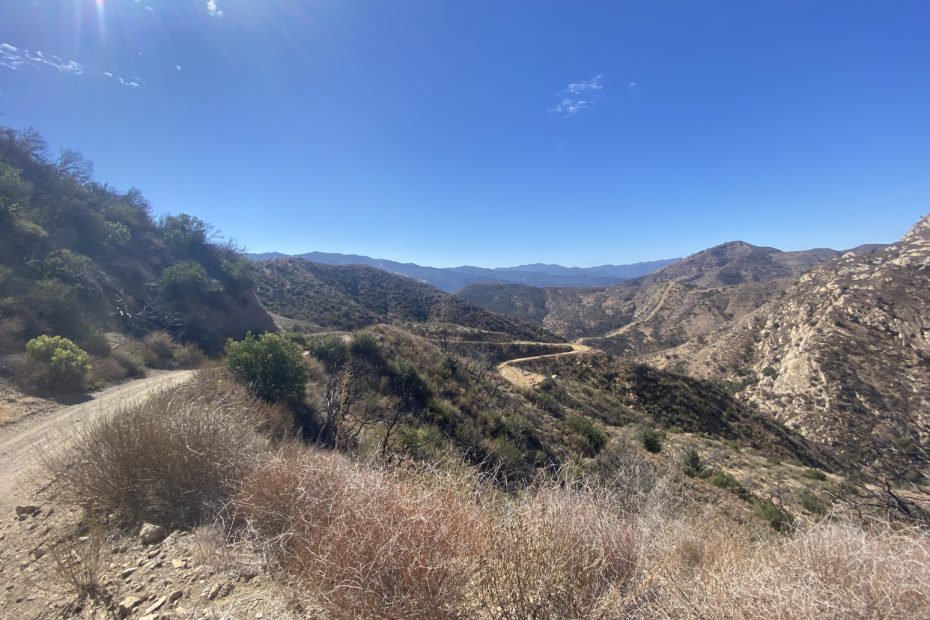
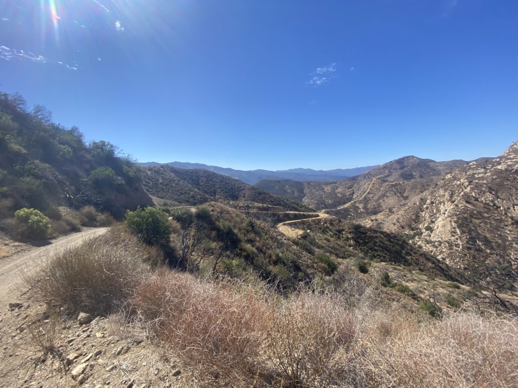
There are some legit kickers in there as you switchback up the hill. However, your hard work is rewarded when you hit the first big opening in the trail as it straightens up. There’s a sign warning of rockfall and slides for the next mile and a turnout that has breathtaking views.
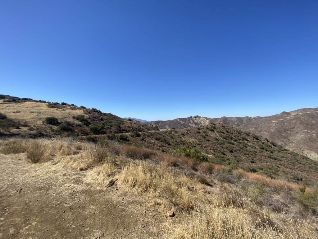
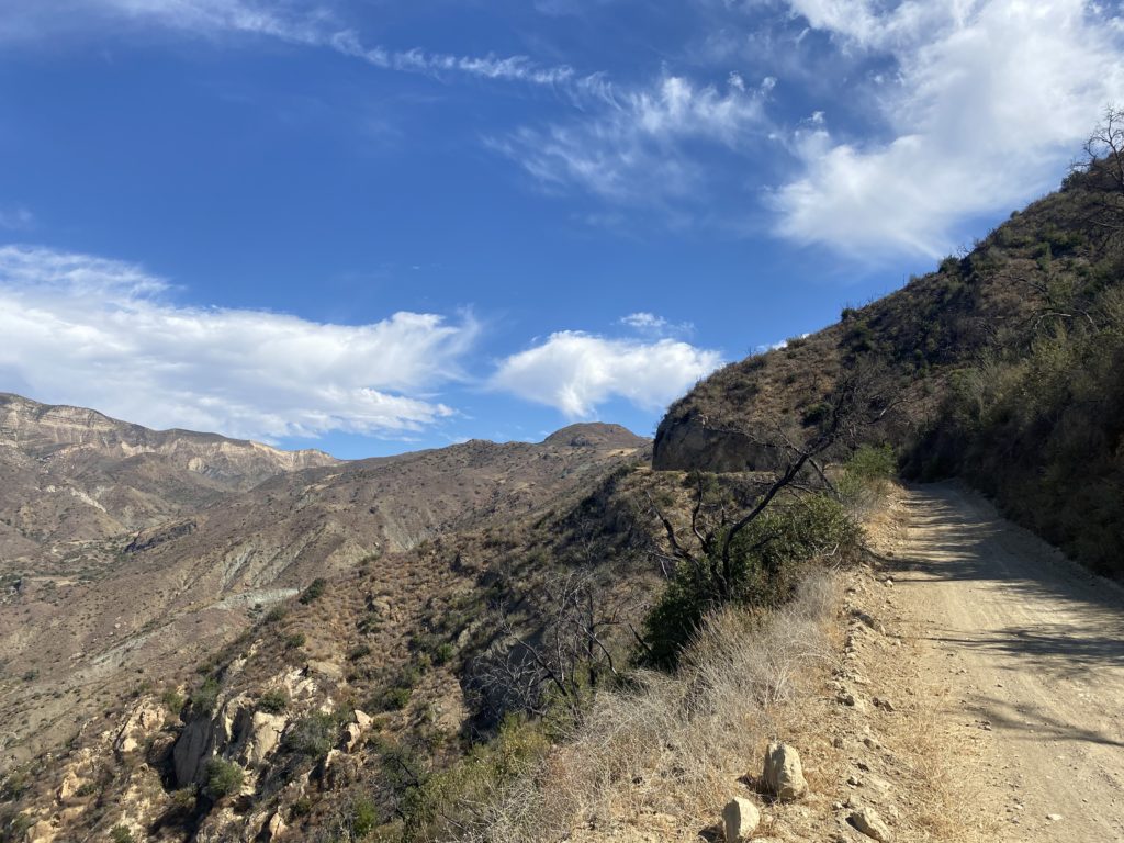
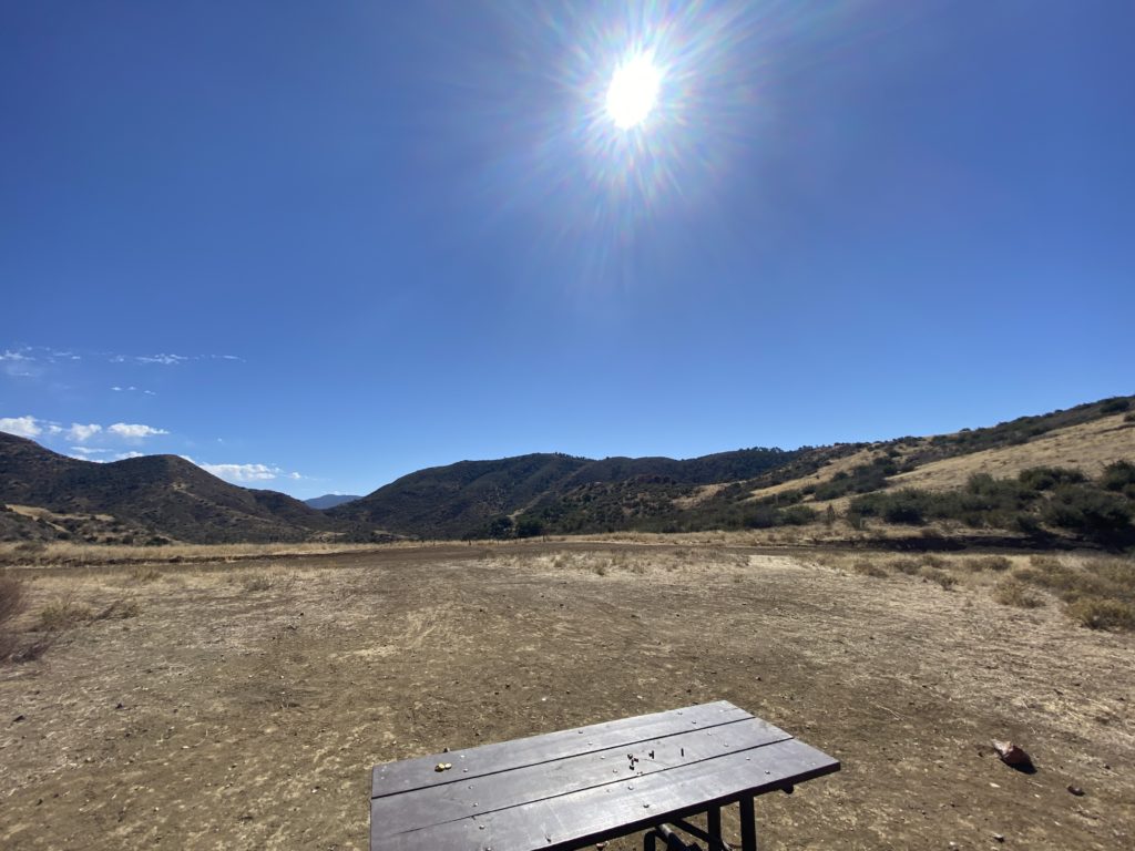
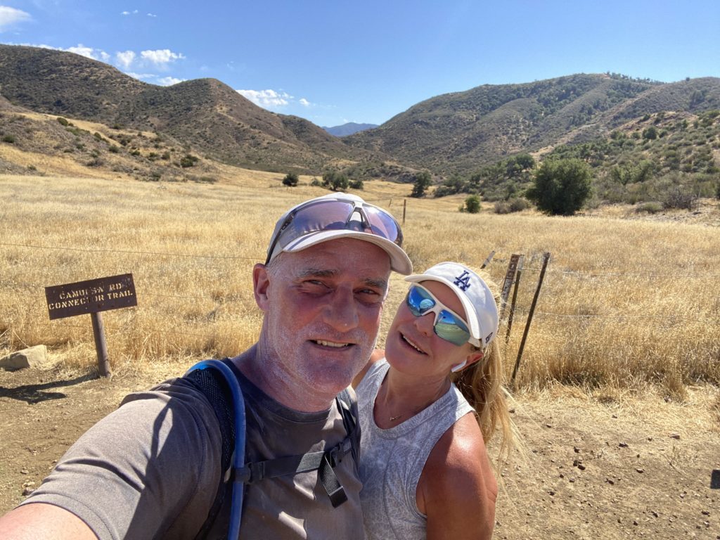
The mile following the rockfall sign is pretty stunning and ocassionally kinda terrifying. It’s a solid road cut into the rock. To your left on the way up is a pretty sheer drop and to your right is some imposing rock face. But, it’s pretty amazing. It’s a mile uphill to the Camuesa Connector Trail and the end of the first section. It’s a beaufiful meadow and killer downhill if you want to head back down to Paradise Road that way. The OHV keeps going for a long, long while but we decided it was time to turn and headed back down the way we came.
All in all it is a pretty nice trail – especially if you’re someone who isn’t too fond of singletrack or technical surface. You do have to pay attention to the other users and mind some of the exposed sections but it’s well worth it for the views. Plus, if you go on a Sunday (like we always do), you can head to Cold Springs Tavern for some music and Tri Tip sandwiches!