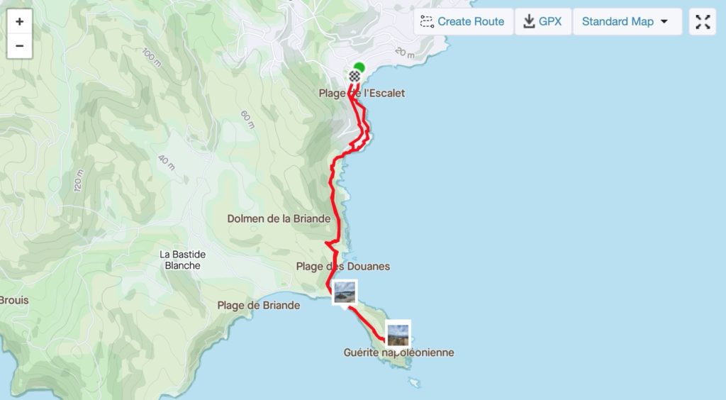
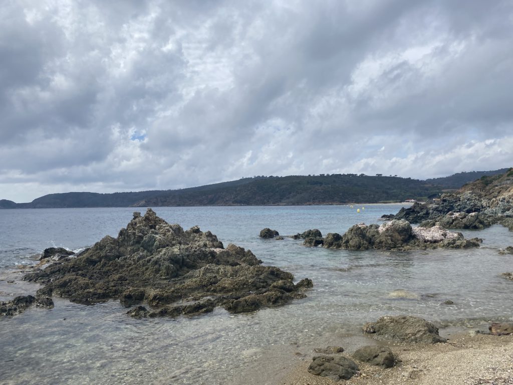
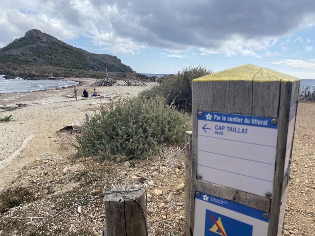
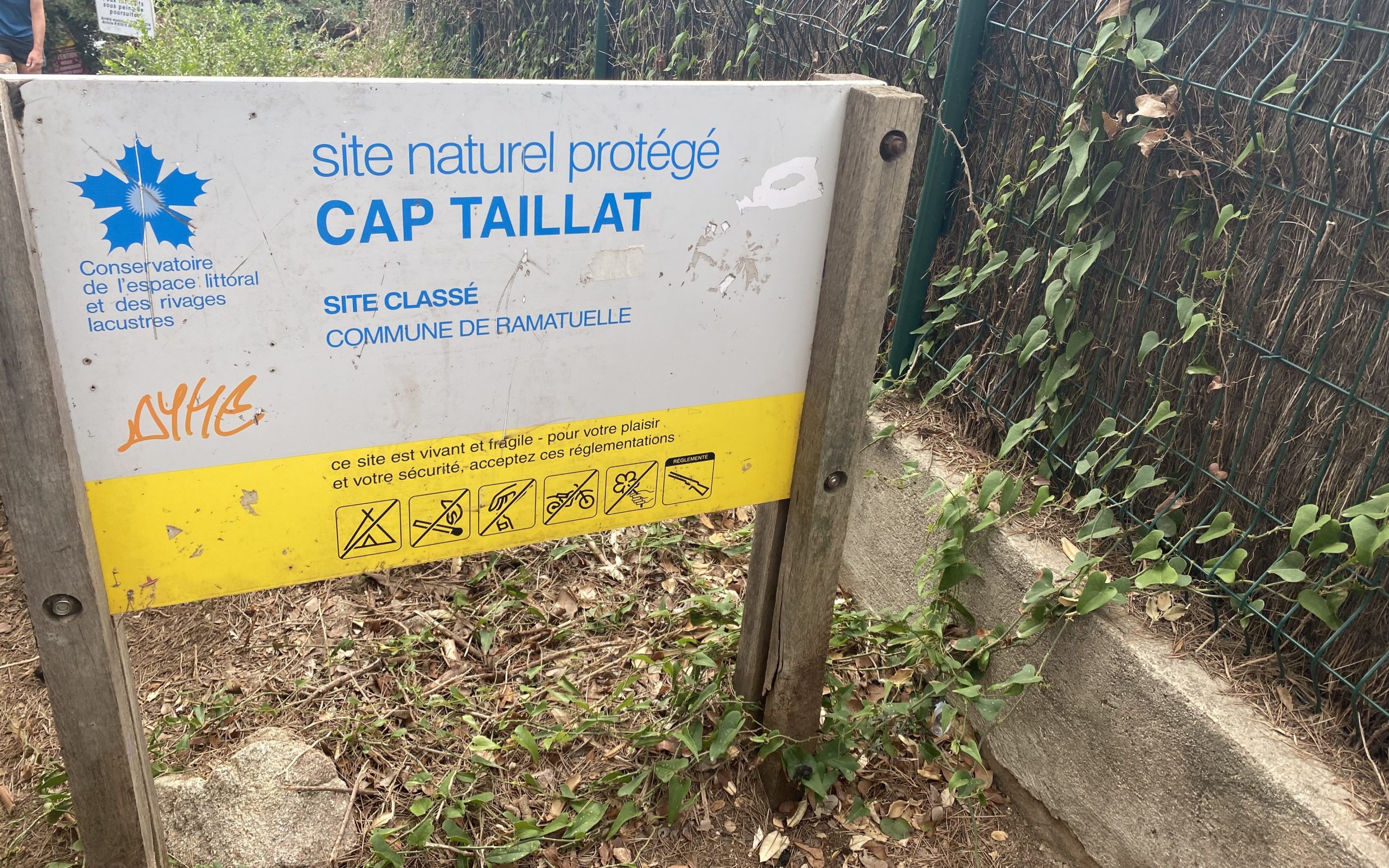
We decided to try something a bit different this time and crossed over to the other side of the range to the Plage de l’Escalet – a nice small beach area with a couple of cafes and not much else. However it’s also the start to a trail that winds along the water before heading out onto a peninsula that culminates as Cap Taillat.
Here are the stats:
- Distance: 5.83 km/3.62 Mi
- Moving Time: 50:29
- Elevation: 163 m/534 ft
- Calories: 742
- Rainy
- Temperature: 21.66 °C/71 ℉
- Humidity: 91% Feels like 72 ℉
- Wind Speed: 21.5 km/h
With the weather looking somewhat ominous on top of not feeling great in the legs (and the awesome scenery), we decided to keep this one a bit short – right around 5k. That would get us out to the point and back.
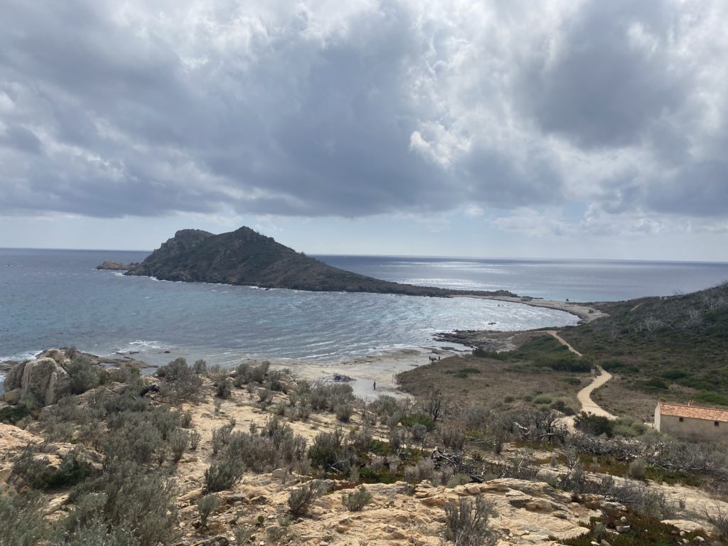
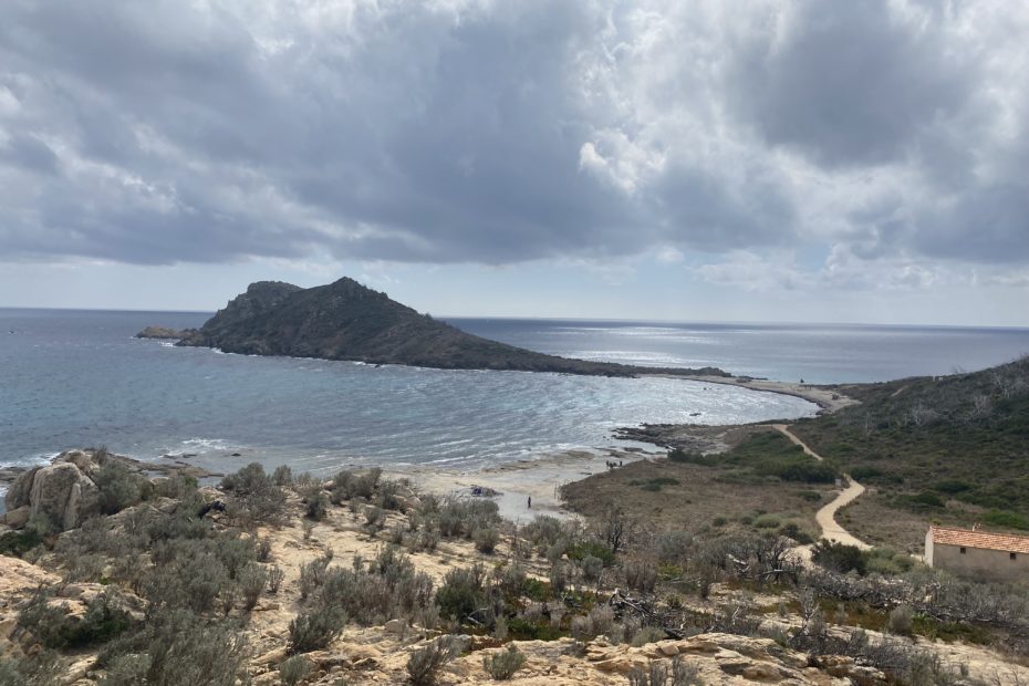
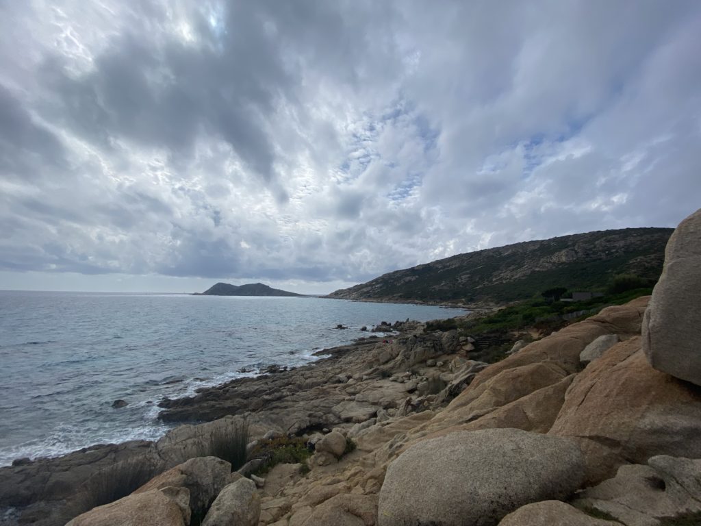
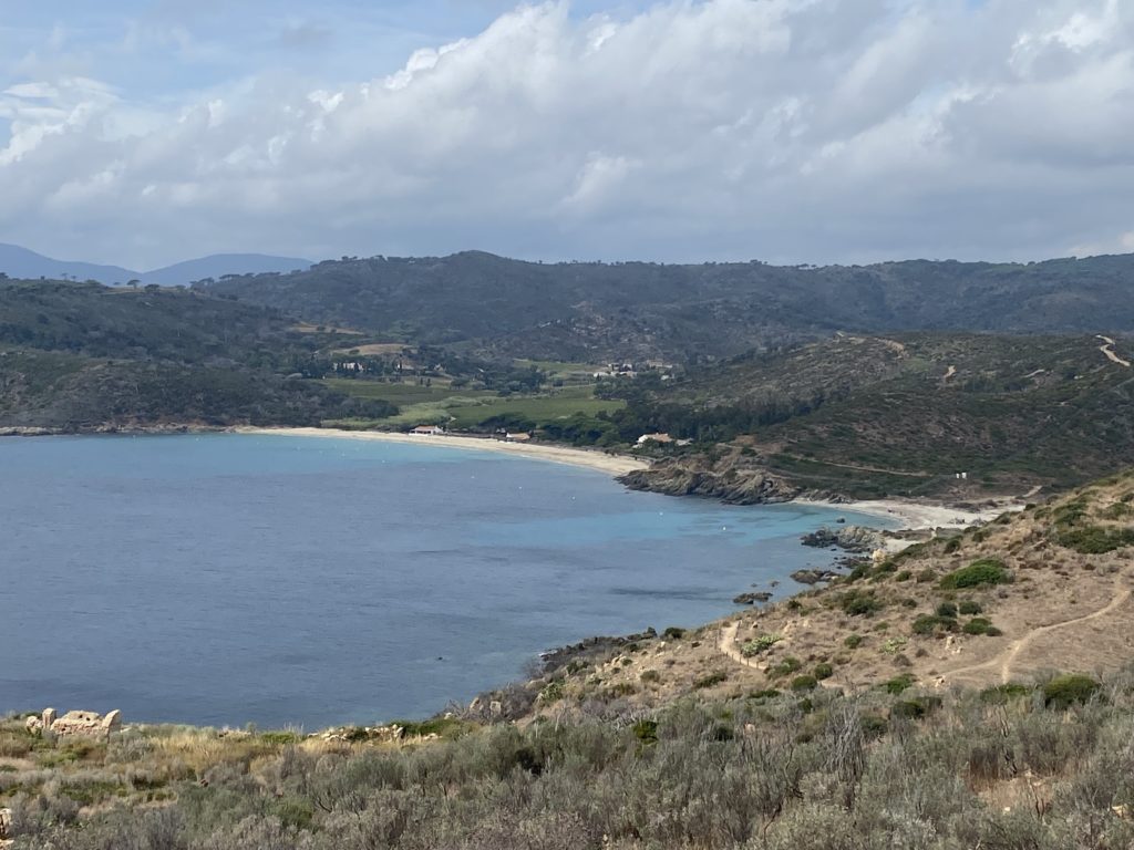
The trail winds along a rocky shorefront – you can take the “beach” path, which is essentially a rock scramble or the singletrack slightly higher up the hill. We chose the singletrack which, while decent, was riddled with roots and rocks so we had to pay attention. After a gradual rise to a crest you look down on a flat section with some sort of active structure (I think it was an environmental organization’s boathouse or research facility) and the path out to the Cap.
After getting off the beach you climb a surprisingly strenuous (ok, maybe we were just tired) singletrack to the top.
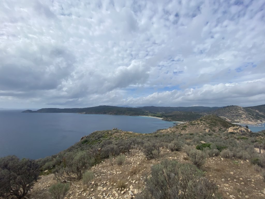
The views are stunning on both sides.
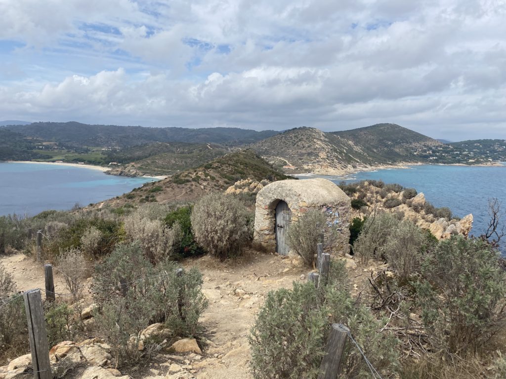
At the top of the cap is a small stone structure. Not sure what it is but it looks very, very old.
It was a short run but an absolutely breathtaking one. We got back to the car, had a coffee at one of the stands and began our “long” trek back over the hill to Ste-Maxime, vowing to come back and extend our run to Cap Lardier which looked even more impressive.