
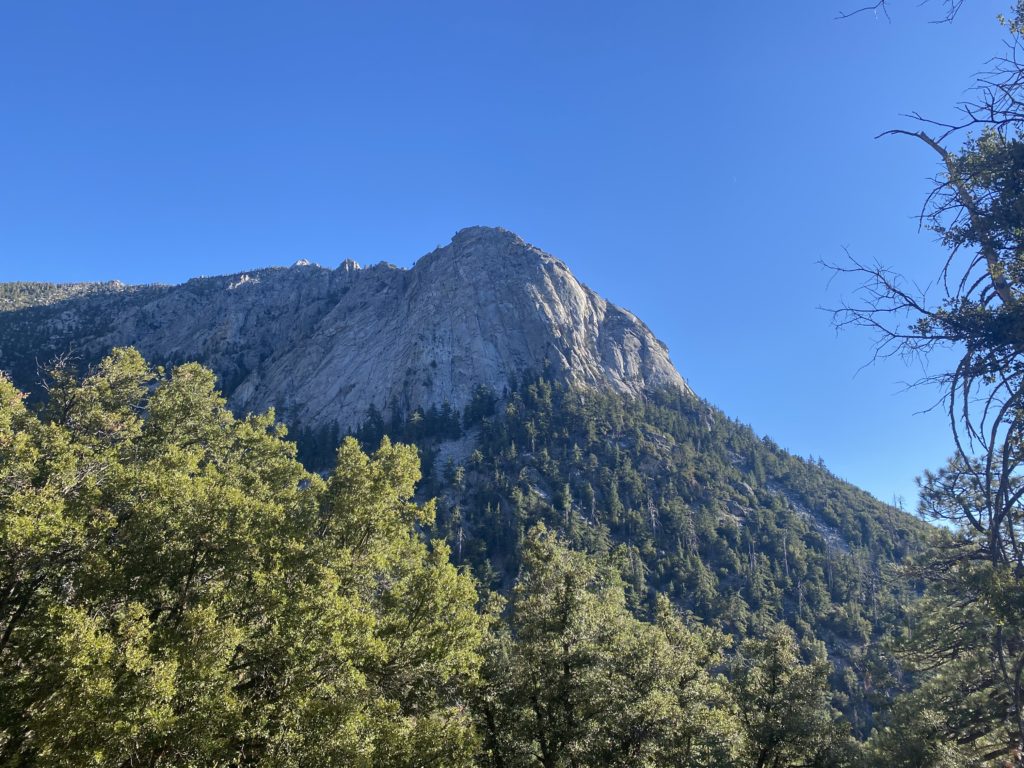
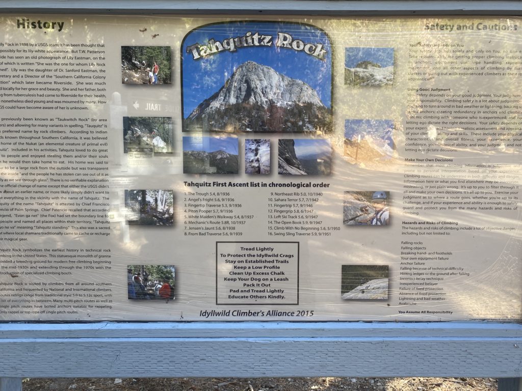
While I wouldn’t call this the pinnacle of California trail running (mostly because the altitude meant I couldn’t actually run all of it!) but it was a pretty amazing experience. With Clare out of town for the week I made the trek from Palm Desert to Idllewyld (never been there before) to check out an epic climb up to Tahquitz Peak. As a side note, this a classic big wall rock climbing area with Lily Rock (also called Tahquitz Rock) and Suicide Rock having some truly classic routes.
Here are the stats:
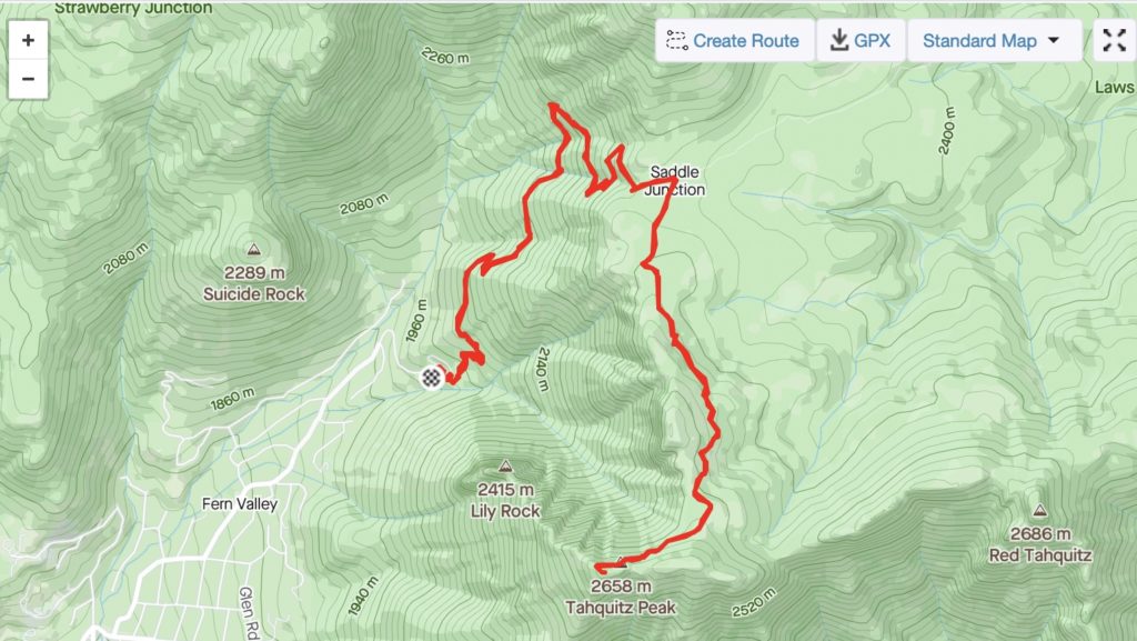
- Distance: 14.65 km / 9.1 Mi
- Moving Time: 2:02:48
- Elevation Gain 737m/2417 ft
- Calories 2,010
- Temperature 57° F / 13.8° C and Clear
- Humidity 23% Feels like 57 ℉ / 13.8° C
- Wind Speed 6.5 km/h
- Wind Direction W
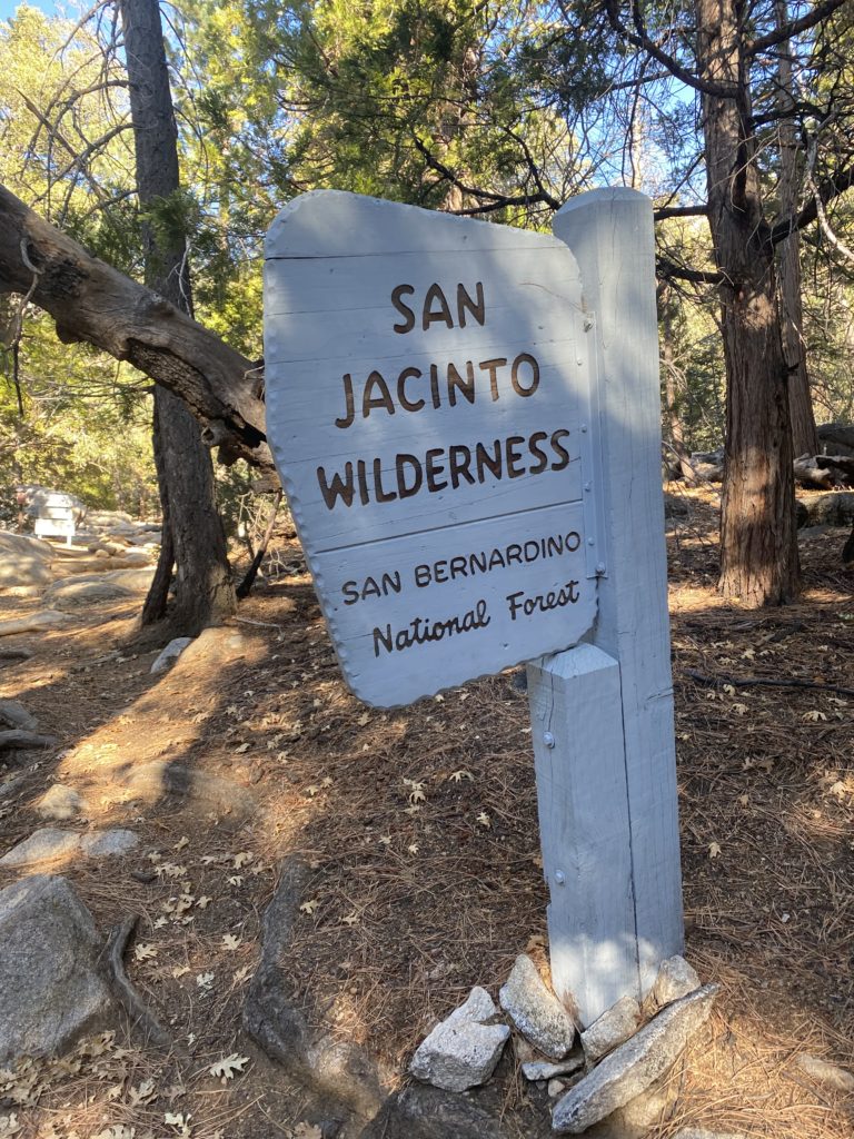
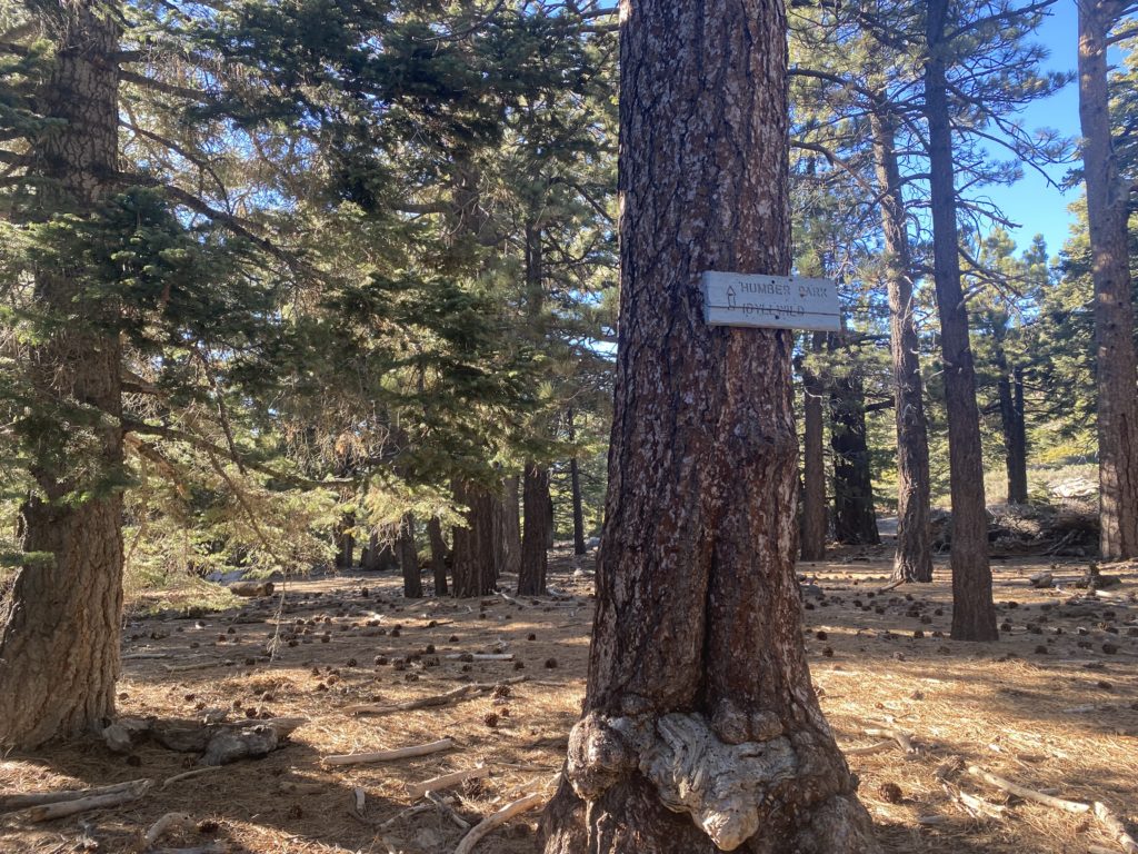
Parking is a bit tricky here. I headed up here when it wasn’t too busy so there were spots in the lot. However, just be aware that the parking at Humber Park is limited. You’ll also need some permits. You can get the free permit for the San Bernardino National Forest at the Ranger Station but be aware there’s a trail quota on weekends (unclear if it’s year-round or just peak summer season). You can read all about it on the San Jacinto Wilderness Page. You’ll also need an Adventure Pass for Humber Park – it’s $5 and I got one at the Chevron in town.
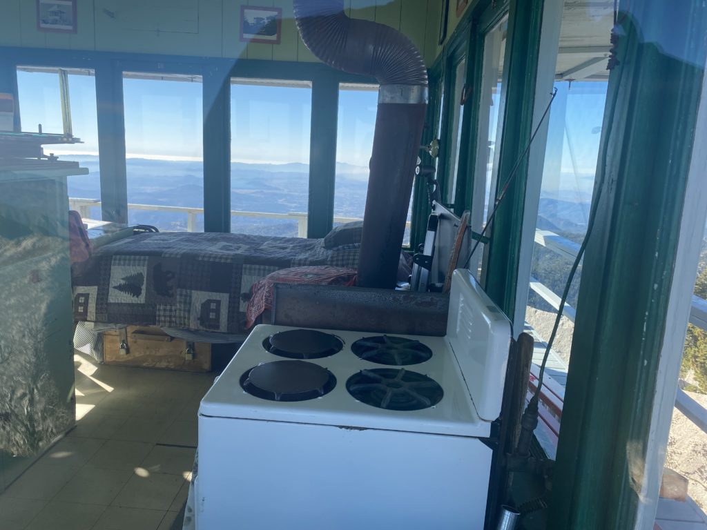
There are several cool things about this trail. First, part of it is on the Pacific Crest Trail – not a lot, just a short section past Saddle Junction before you head out on the exposed section to the peak. Second, you’re rewarded with the Tahquitz Peak Fire Lookout at the top. It’s the highest lookout in the San Bernardino National Forest at 8,846 feet/2696 metres. It’s been operating for 77 years, making the longest continuously operated station in the forest.
If you’re a fan of AllTrails (like me!) you can check out the AllTrails page here.
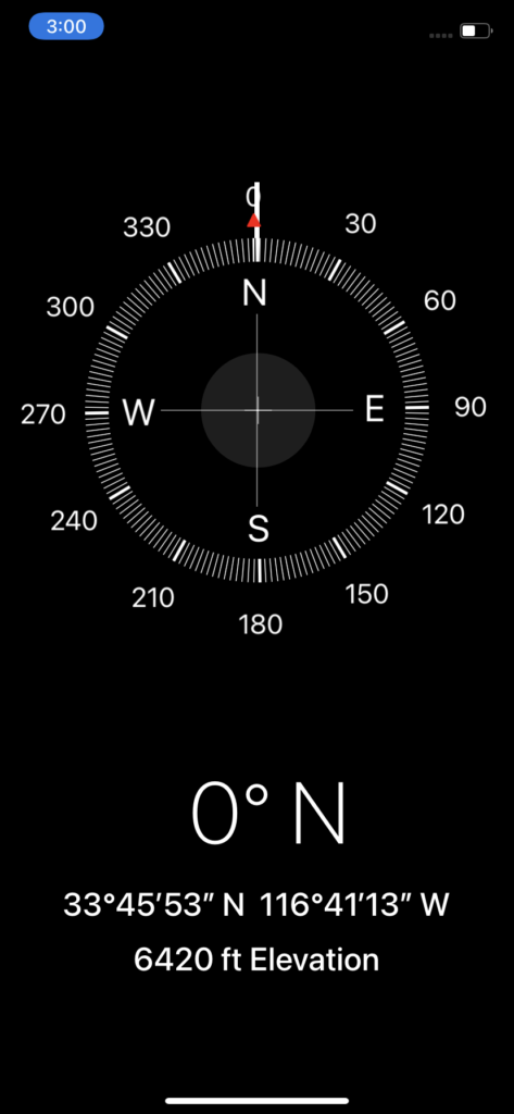
Starting at Humber Park at 6420 feet/1957 metres, you can definitely feel the altitude. Right off the bat I had to reevaluate my “run” and face facts that it was likely going to be a “run until you can’t, then walk until you can again” kind of day.
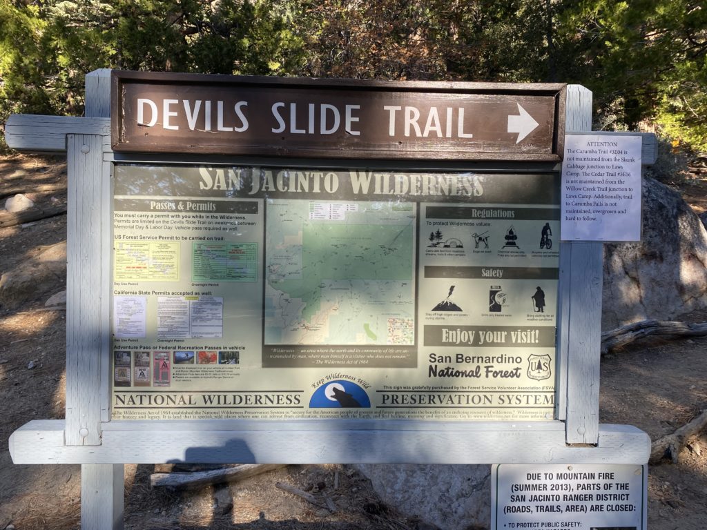
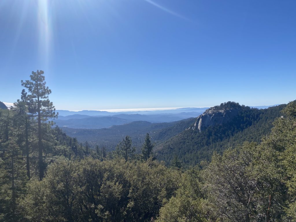
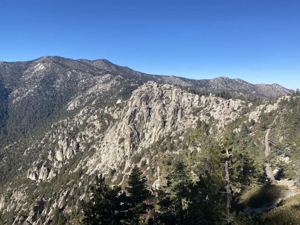
Heading up Devil’s Slide is pretty epic. It winds along the side of the hill with a steady ascent – challenging but not impossible. I would make sure (as always) to take appropriate clothing, water and food. It was a benign weather day when I went up but there was a serious temperature differential at the top. So, pack accordingly. It’s pretty heavily trafficked but it’s not a bad idea to take extra water and food just in case. Roughly halfway up the trail (there are multiple points along the way) you get a great view of Suicide Rock and down in to the valley towards Idlewild.
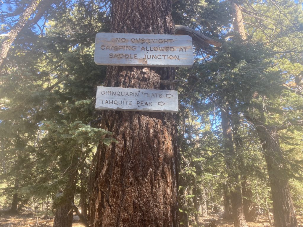
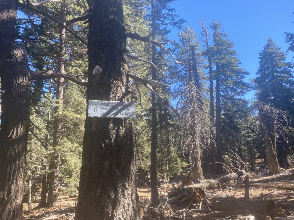
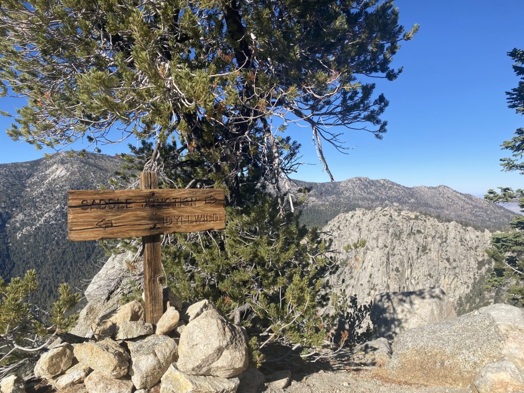
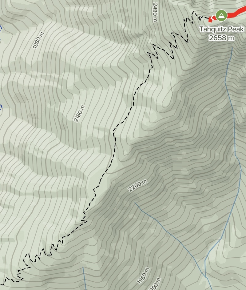
At about the 4 kilometre/2.5 mile mark you’ll hit Saddle Junction … and likely be very happy about that. It’s a flat section with a four-way junction. It’s the end of Devil’s Slide and if you keep going straight-ish you’ll head onto the Willow Creek Trail. The Pacific Crest Trail runs perpendicular so you’ll want to head to the right on the PCT towards Chinquapin Flat and Tahquitz Peak.
Follow the gently rolling trail – it’s a pretty straightforward path as you head towards the flats where at about 6 kilometres/3.75 miles from the start of the trail you’ll hit a junction.
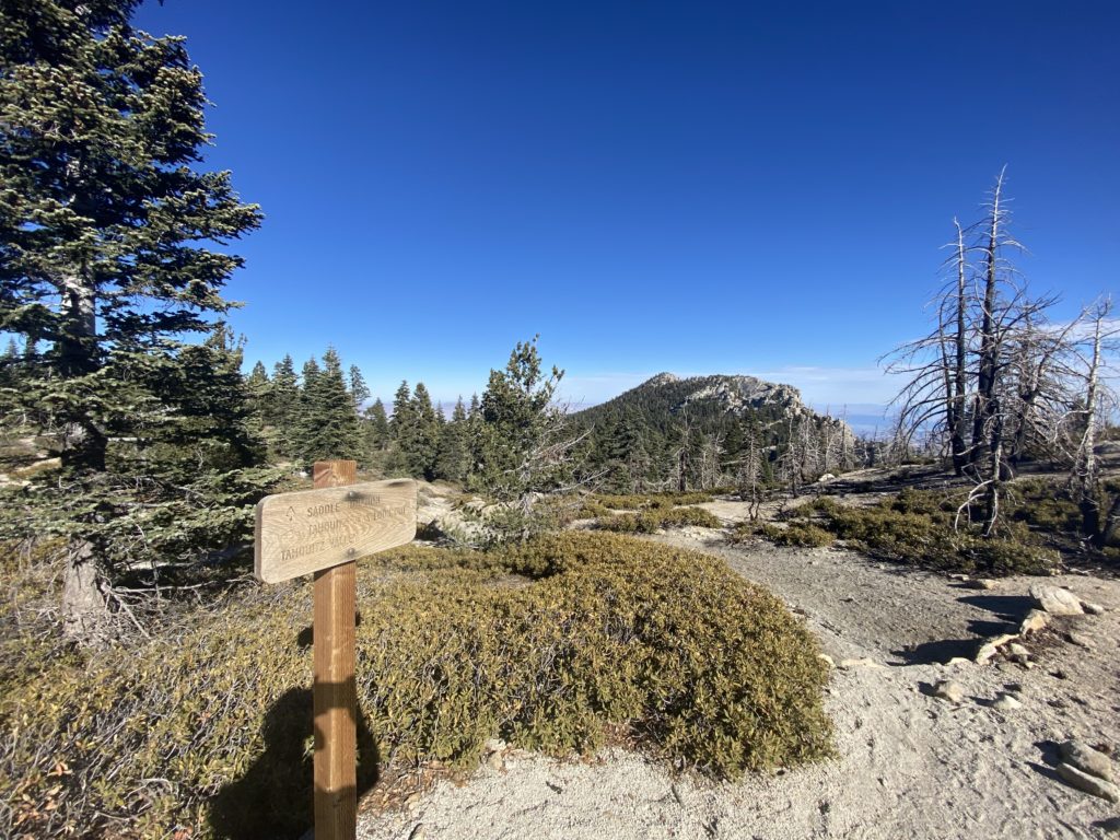
Here the PCT switches back on itself. To get to the peak you’ll head to the right-ish and continue up.
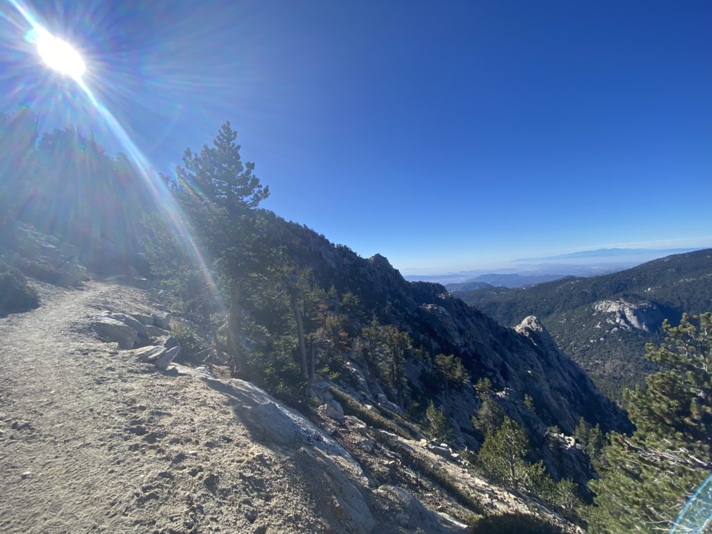
Although it’s only about 500 metres/third of a mile, this was my least favorite part of the run. The path isn’t bad and it’s not too exposed but it’s a long way down and I was feeling the altitude. I walked it and hugged the mountain the whole way. YMMV.
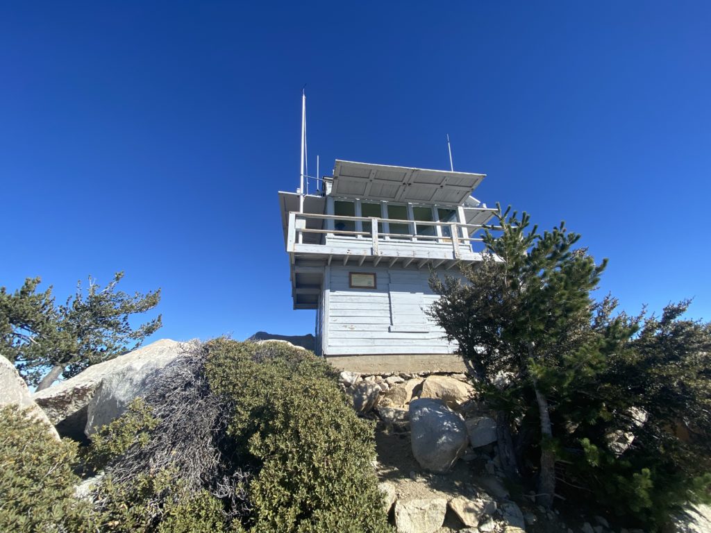
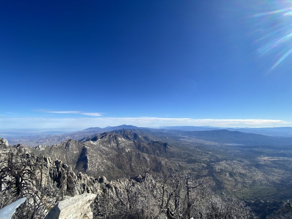
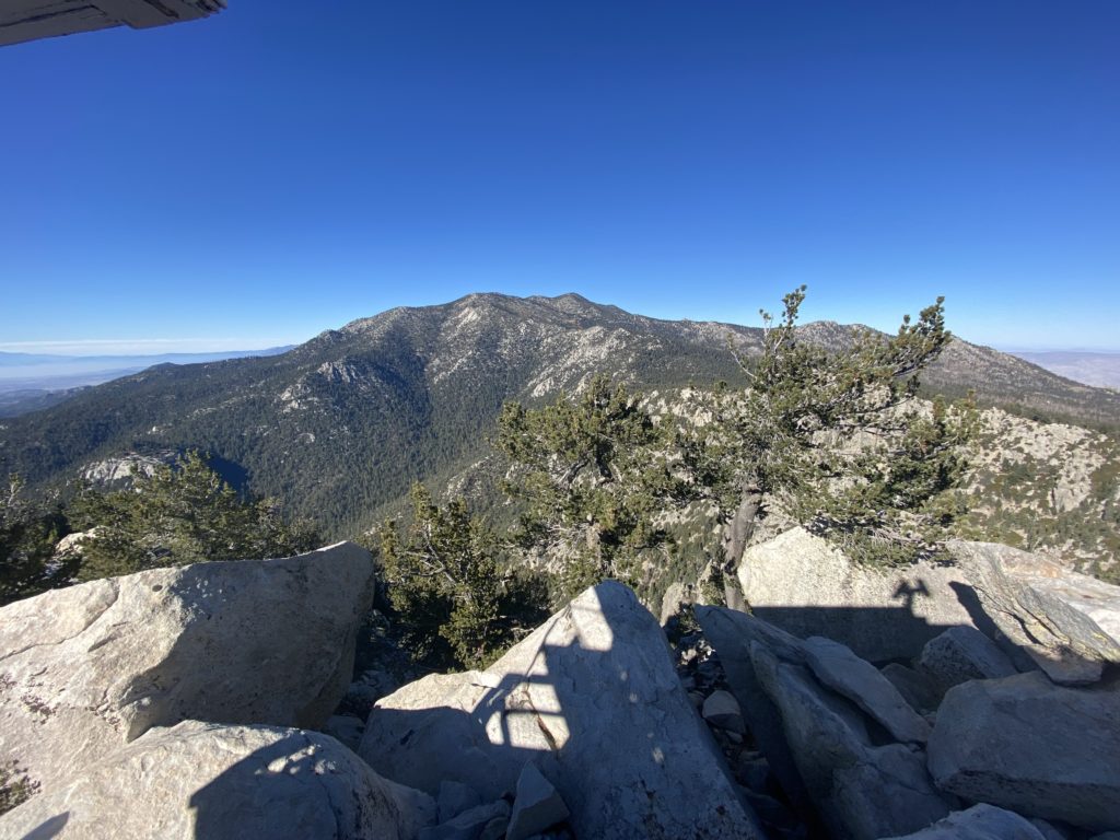
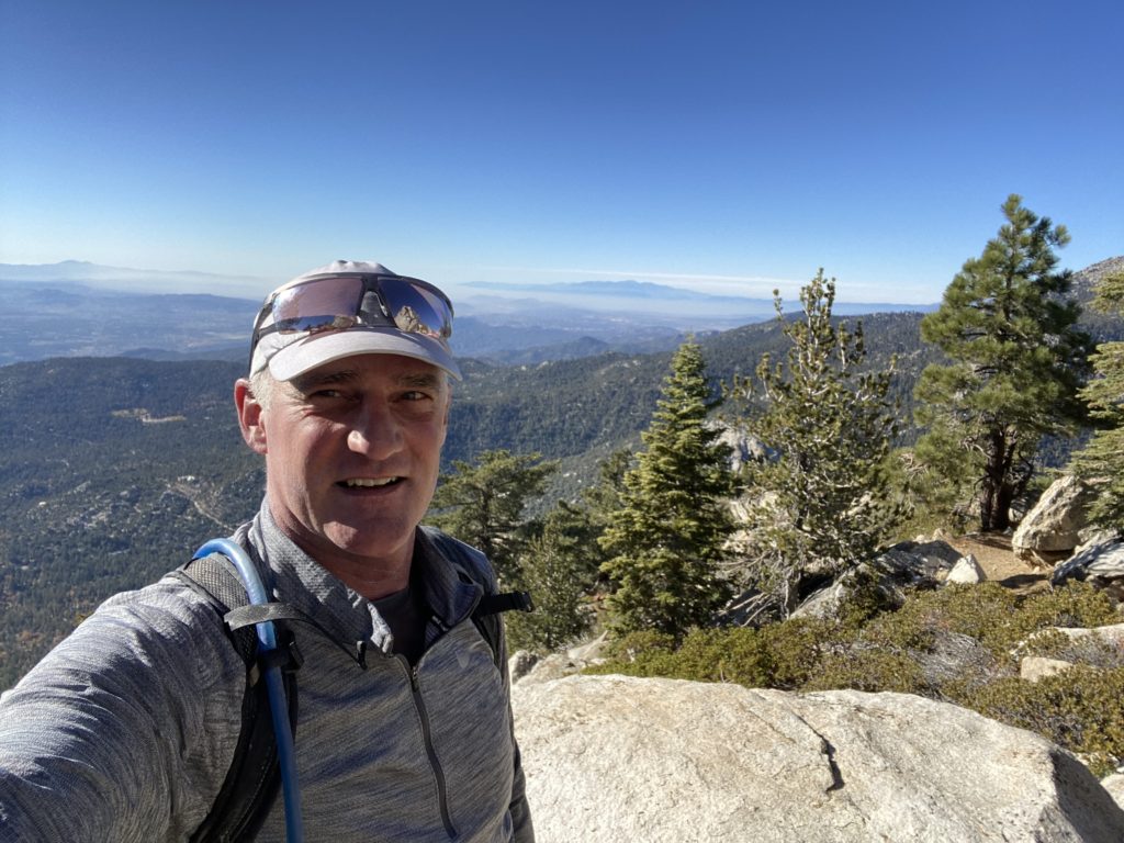
The view from the top is epic.
After resting up a bit and catching my breath…and getting cold, it was time to head back.
I could have gone done a different path but given the way my legs were burning with the moderate altitude and the fact that it looked like a *really* steep trail (and I had no idea how far I’d be from the car)…I chose discretion over valor and went back the way I came.
The views weren’t any less breathtaking one the way down and, as a bonus, I could actually run most of the way!
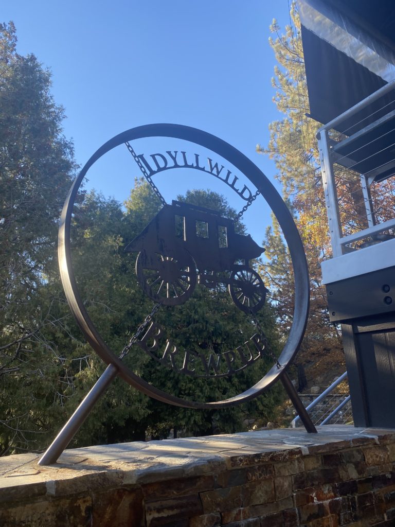
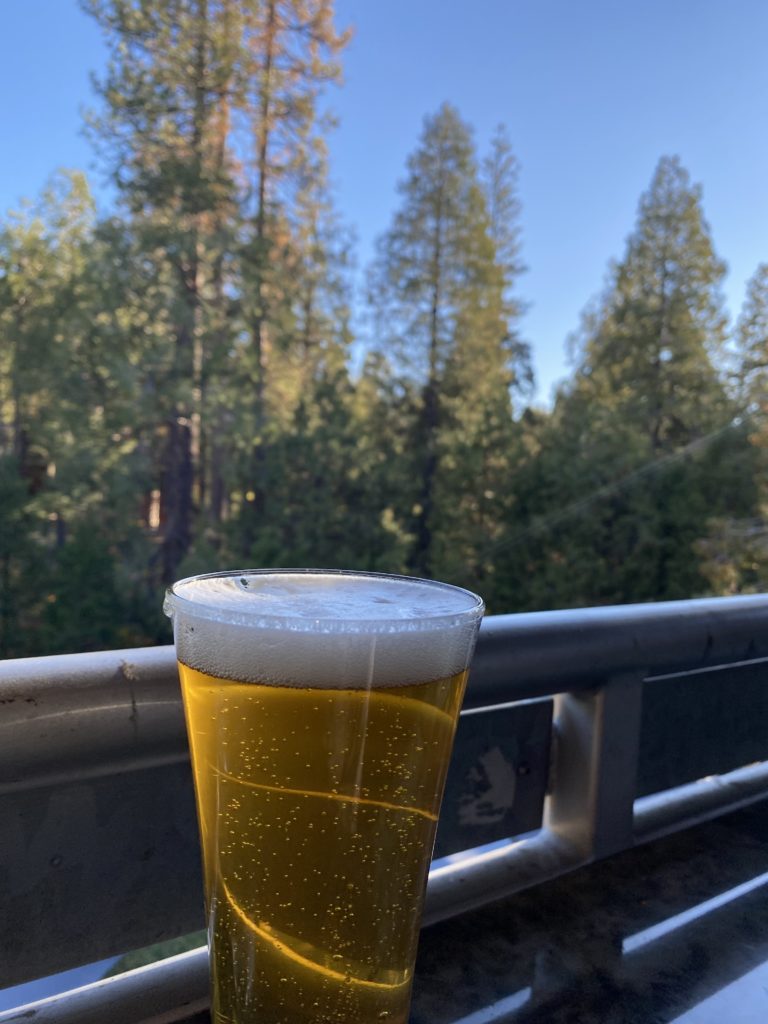
And, as usual, no good Sunday Long Run day is complete without a reward. I this case it took me a little bit of time to find it (Idlewild isn’t that big so it’s a testament to just how scrambled my brain was with the altitude and need for food) but I tucked into the brewery before heading back.
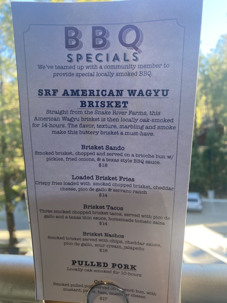
I’m not saying that brisket tacos and a beer are the best post workout meal but….wait. Yeah. I am saying that. I’m saying exactly that.